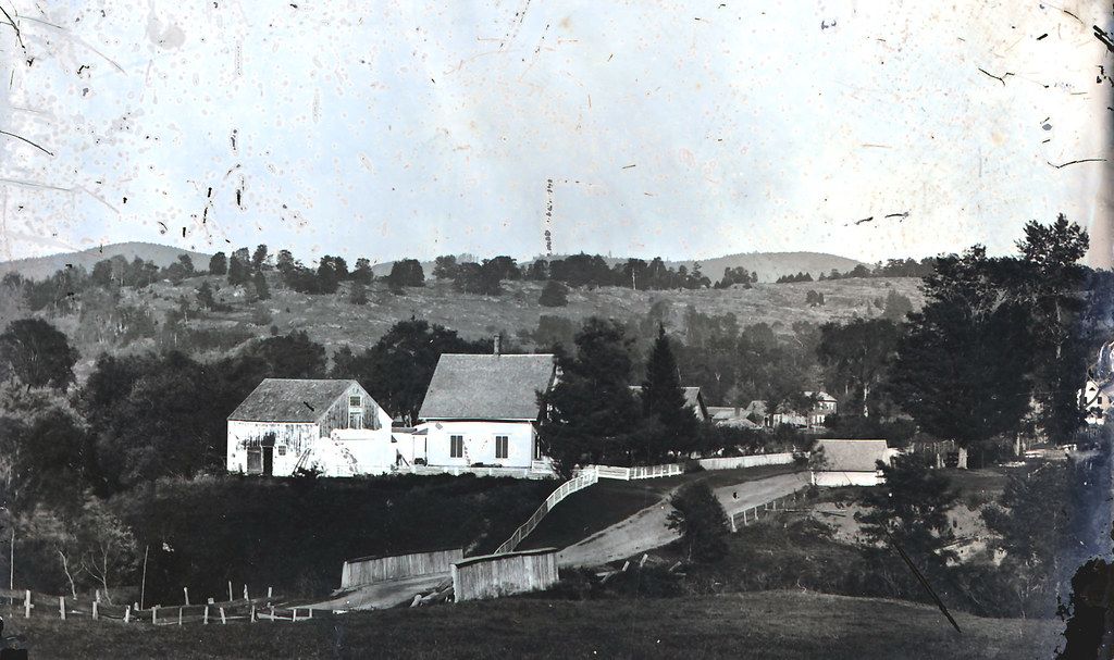
Thetford has a history with bridges
Thetford used to have as many as seven covered bridges.

Thetford has been described throughout history as a river town, its economy and villages built on the shores of the Connecticut and Ompompanoosuc rivers. Bridges have been essential. The Thetford Historical Society has a Flcikr page that contains historic photos. Captured are many of Thetford's historic bridges.
Lyme/East Thetford Bridge
According to a press release by the New Hampshire Division of Natural and Cultural Resources, the site has a long history as a crossing between Thetford and Lyme. It was first documented as a ferry landing in 1780. An 1840s bridge provided Lyme residents with access to the railroad in East Thetford; a second bridge, built in the mid-1890s, was destroyed during a flood in 1936 when large cakes of ice knocked out its middle section.
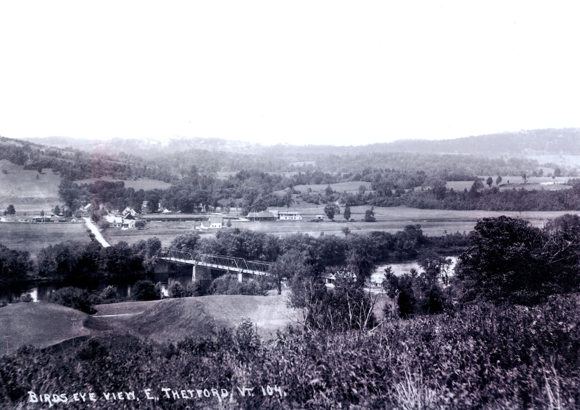
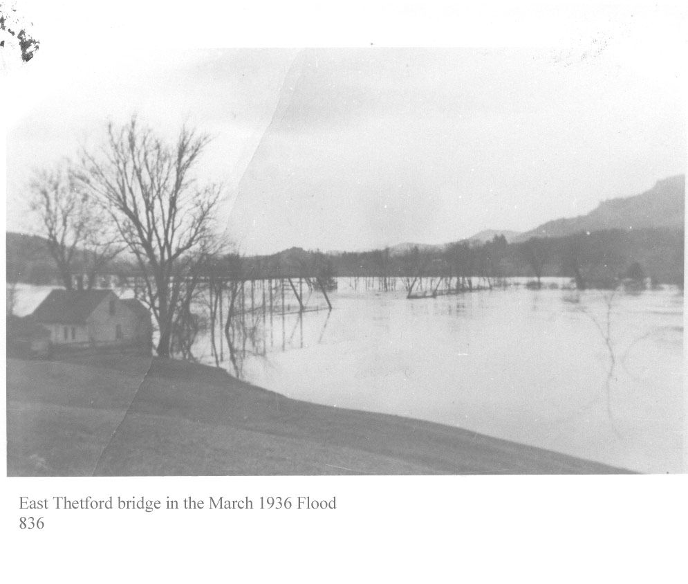
The current bridge, built in 1937, was added to the National Register of Historic Places in 2020 for "its role in interstate transportation and as one of only two bridges of its type in New Hampshire."
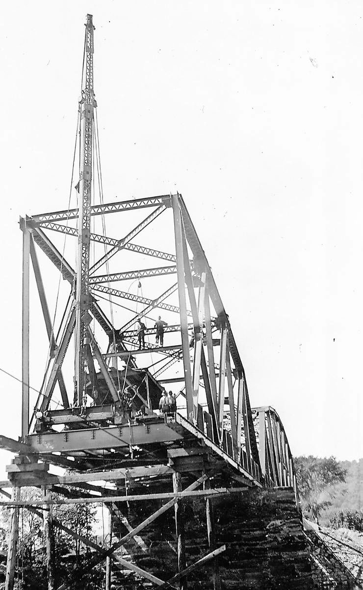
Charles H. Parker’s original design for metal bridges incorporated a bowstring arch. The arch on Parker truss bridges is a variation of flat-topped Pratt truss bridges, commonly used for railroads. Most moderate- to long-span highway bridges built in New Hampshire during the 1920s and 1930s adopted the Parker truss design. The bridge was built when changes in steel rolling technology made it possible to use sectional beams, making truss bridge construction faster and less expensive. Steel components and other elements for the bridge were shipped by rail to East Thetford. It is scheduled to be rehabilitated in 2022/23.
North Thetford Bridge
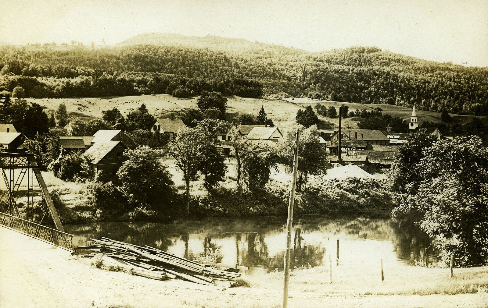
There was historically a crossing in North Thetford. Charles W. Hughes wrote in his The Mills and Villages of Thetford Vermont: "... there had been four bridges across the Connecticut at North Thetford: a bridge on piles, an open bridge, a covered bridge, and an iron bridge. The first bridge here was built in 1822... The covered bridge in 1864." The piers of the most recent iron bridge still stand in the river today.
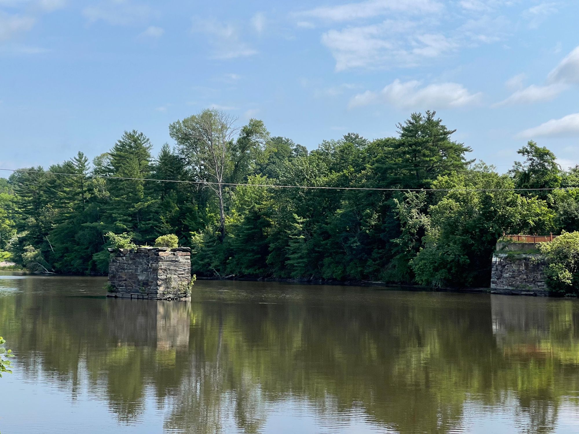
According to the New Hampshire Division of Historical Resources, the iron bridge was built as a toll bridge in 1896 by the North Thetford Bridge Company but was purchased three years later by the Towns of Lyme and Thetford for $7,900 and freed. According to Frank J. Barrett, Jr., the North Thetford Bridge was closed to traffic in the late 1950s. The Vermont span collapsed in the winter of 1972 or 1973.
Thetford Center (Sayre) Bridge
The covered bridge on Tucker Hill Road is one of two remaining covered bridges in town, the other being in Union Village. It has an estimated build date of 1837 and was renovated in 2007. The bridge, a Haupt Truss span, is the only one of its kind in New England, and one of just two in the United States. The builder is unknown.
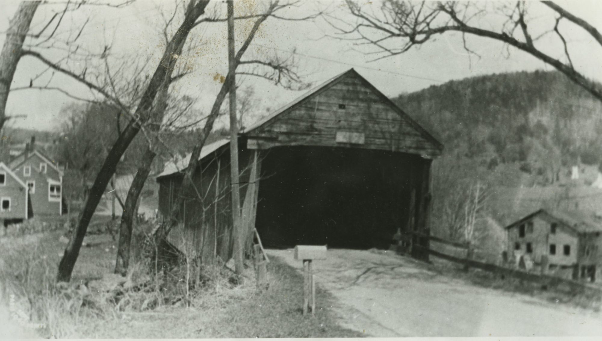
The bridge sat just upstream of a mill.
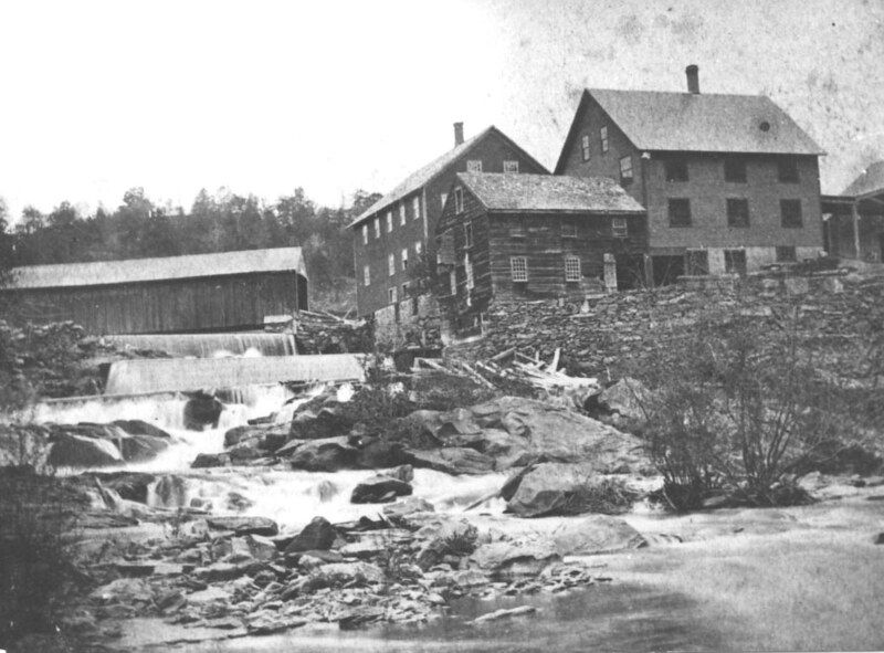
If you're familiar with the trails there, you may have seen portions of the mill's foundation still visible on the bank of the river.
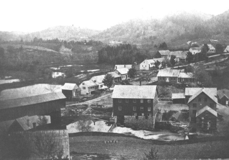
Union Village Covered Bridge
The Union Village Bridge has spanned the river since 1867. With a truss length of 113 feet, it is the longest multiple-kingpost span in the state. It rests on original abutments of dry-laid stone that have been faced or capped in concrete. It was listed on the National Register of Historic Places in 1974, and was rehabilitated in 2003.
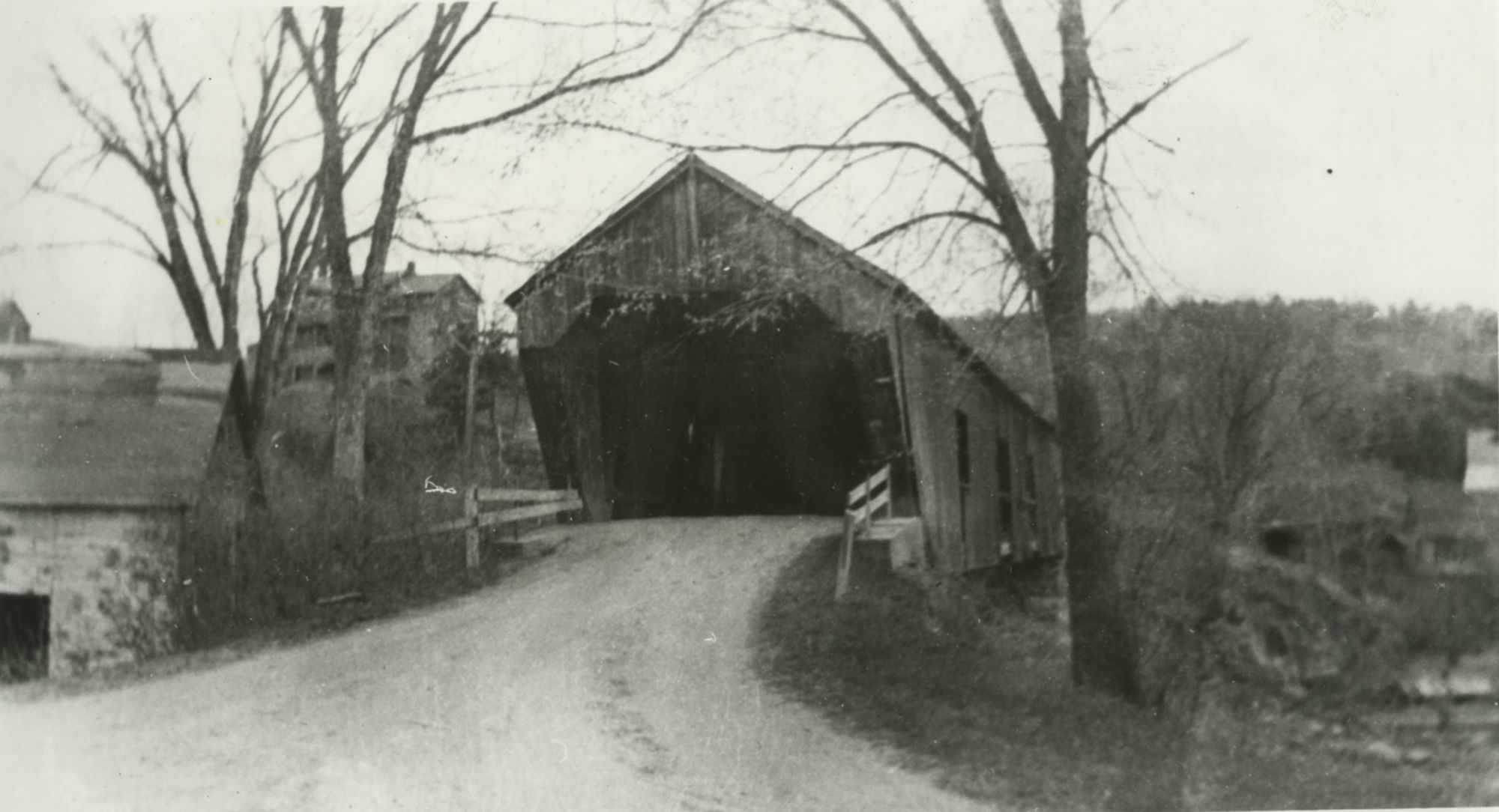
Post Mills Covered Bridge
This bridge spanned the Ompompanoosuc on Lake Street (now Route 244).
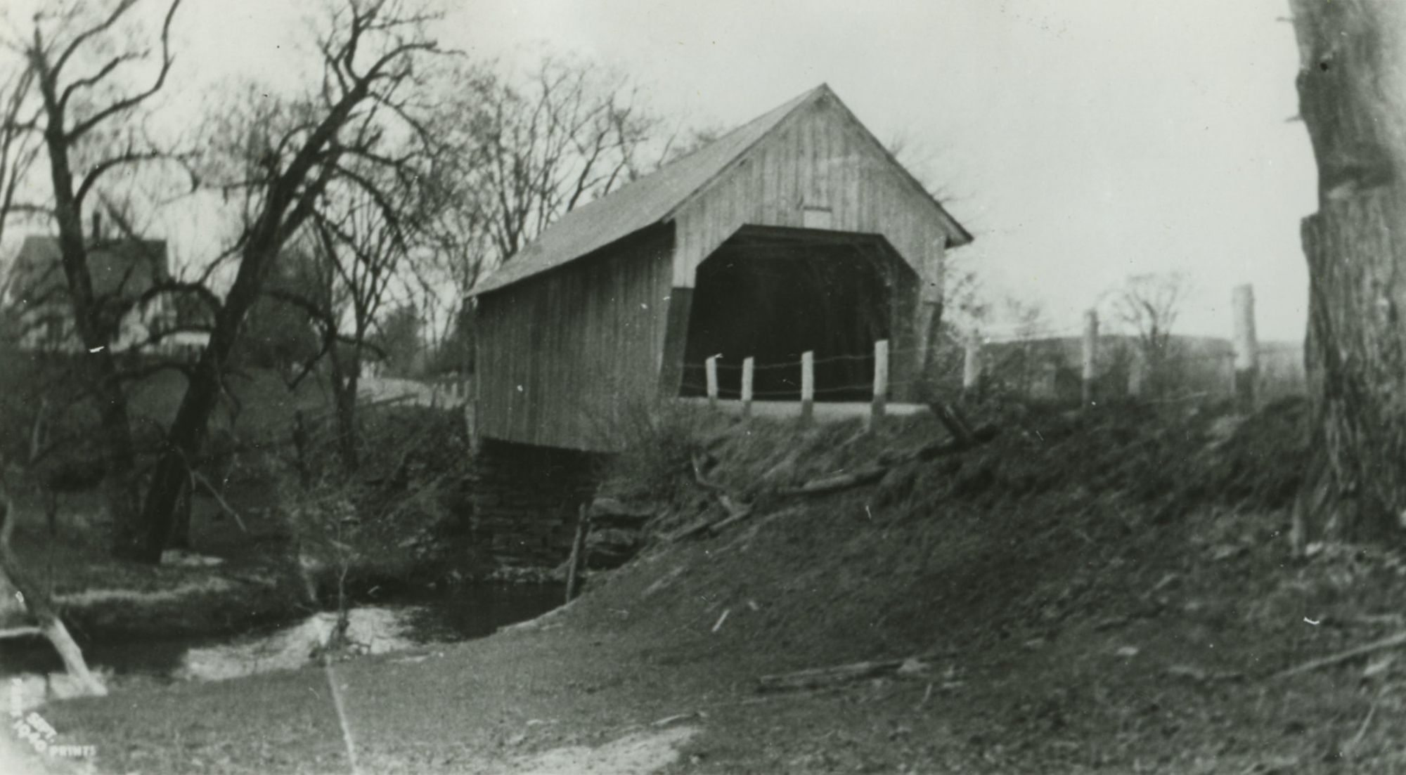
Plain Bridge
This is an area from Route 113 along 244 known as the Post Mills Plain. At one time, the crossing was a covered bridge, shown here.
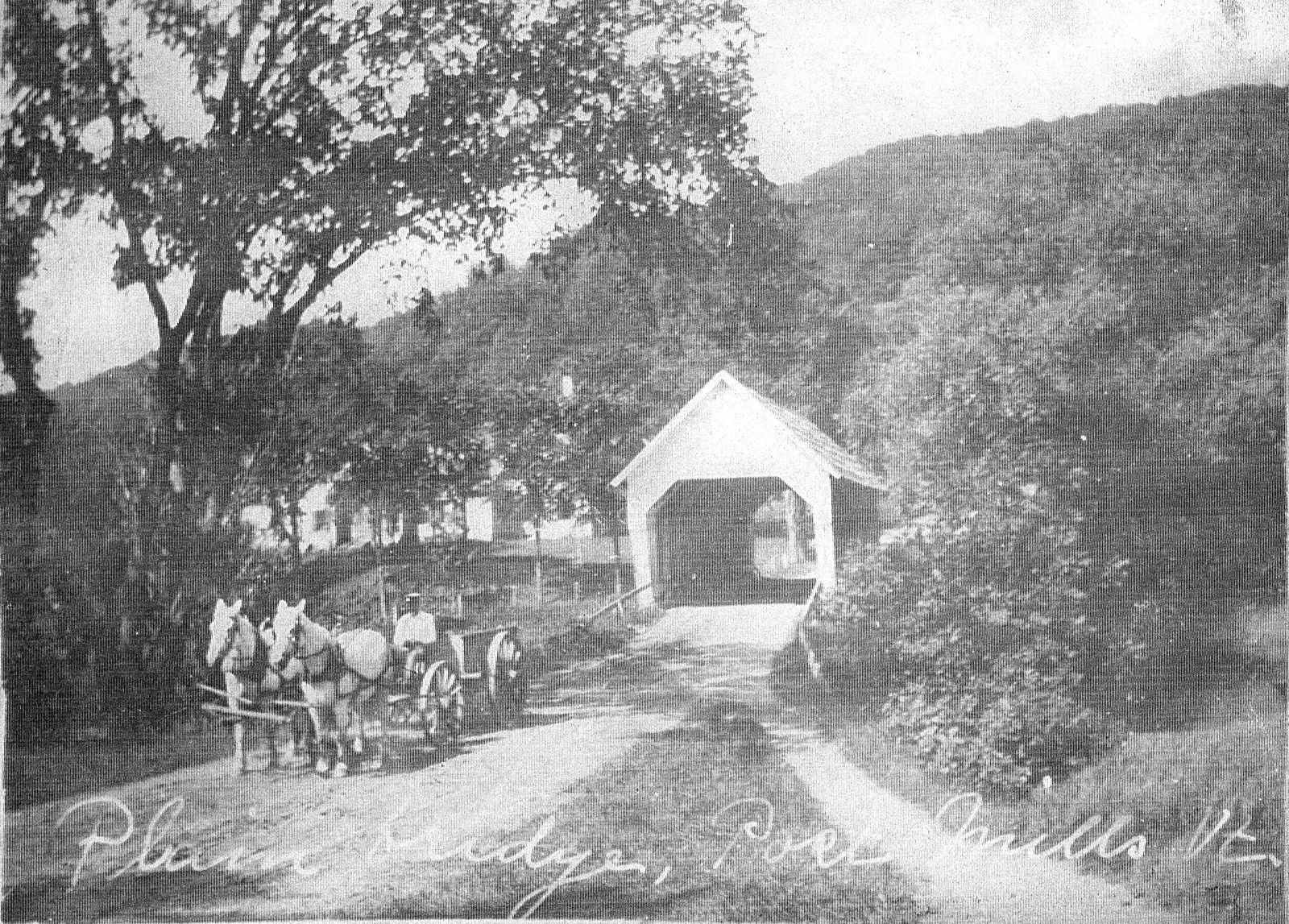
Clark Bridge
Located on the present day Tucker Hill/Union Village Dam access road, the Clark Bridge spanned the Ompompanoosuc on what was then the main road between Union Village and Strafford. It was one of three covered bridges removed during Union Village Dam construction.
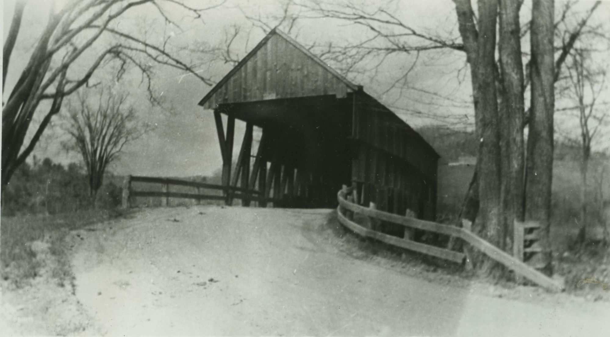
Cook Brdige
Off Buzzell Bridge Road, this bridge crossed the Ompompanoosuc and led to the Charles and Mildred Cook farm. The farm (and bridge) were among many structures removed during construction of the Union Village Dam.
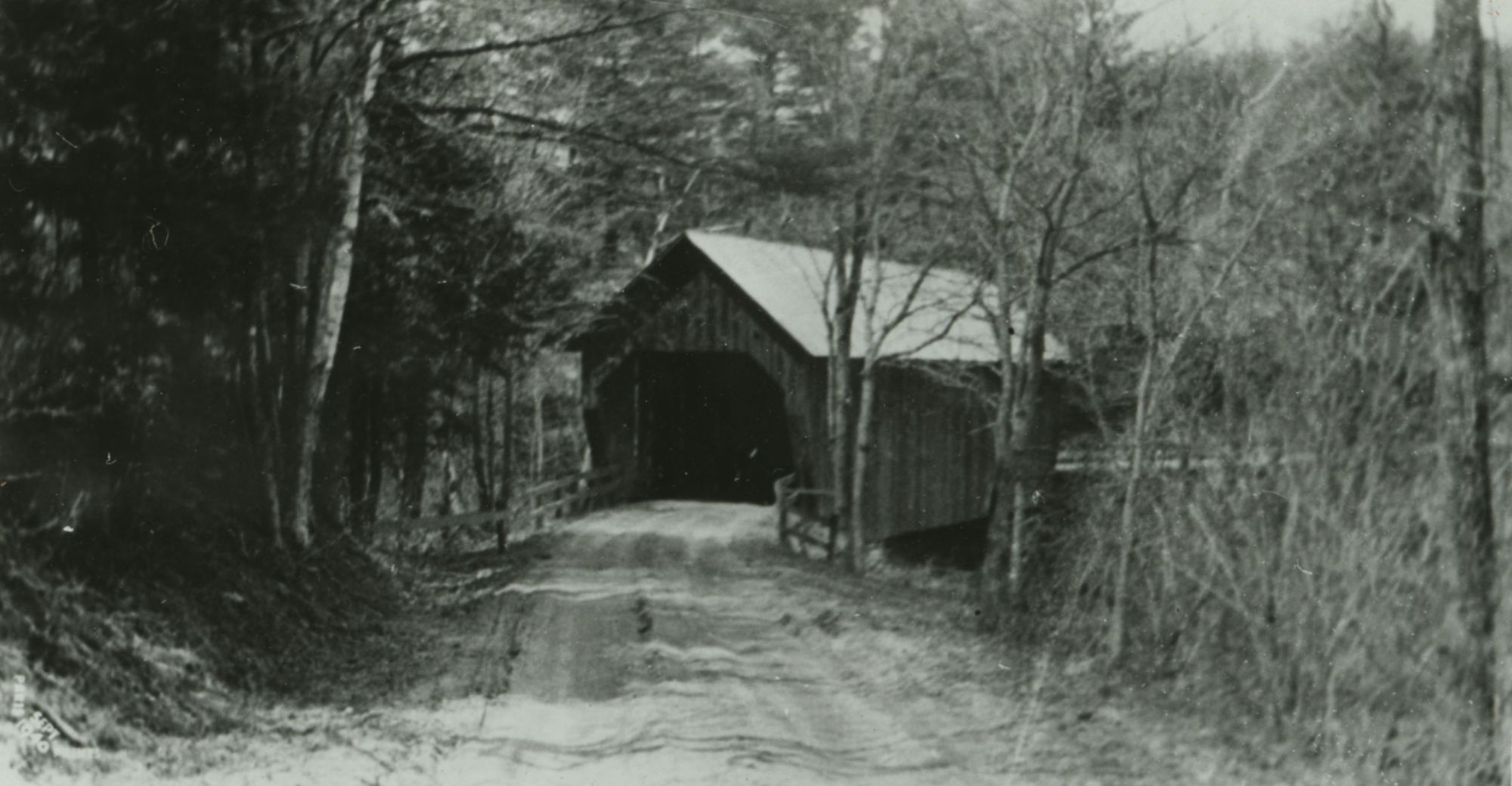
Buzzell Bridge
The third covered bridge lost to the Union Village Dam project, Buzzell Bridge was located near the spot where the East and West branches of the Ompompanoosuc joined.
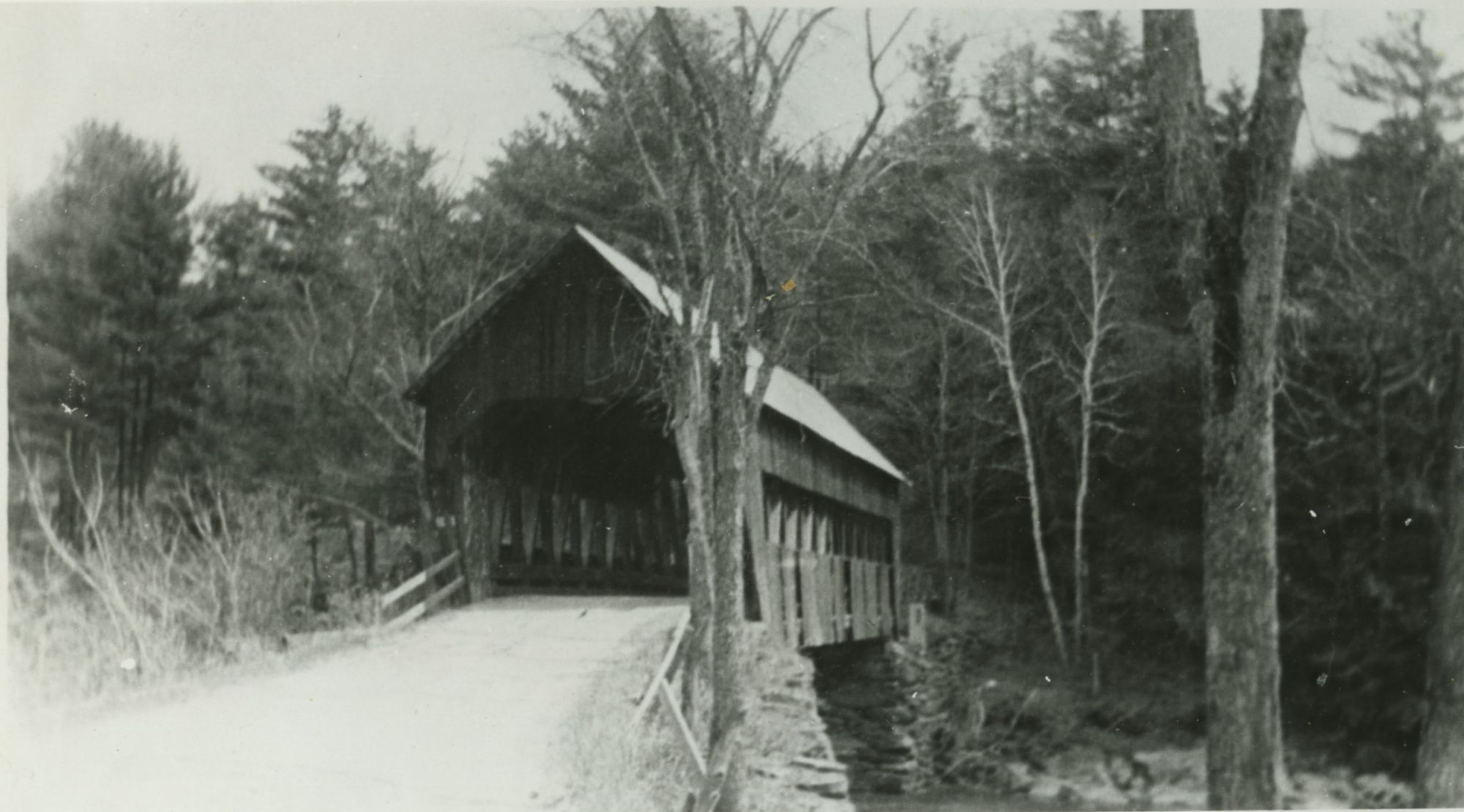
Route 132
A view of the newly completed bridge (~1950) over the Ompompanoosuc, part of the Union Village Dam construction. To the left is Tucker Hill Road. This bridge still stands today.
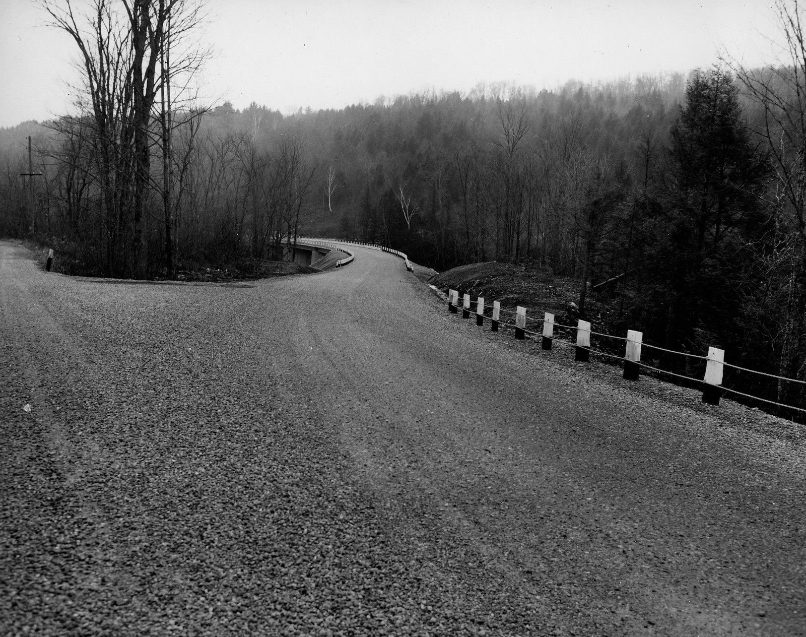
A Mystery
This photo contains a small bridge but it's listed simply as "Mystery Photo" on the Thetford Historical Society's Flickr page. Where do you think this photo was taken?
