
Easy as falling off a log
Danielle Rougeau of Middlebury College introduced beach-goers to the sport of log rolling.
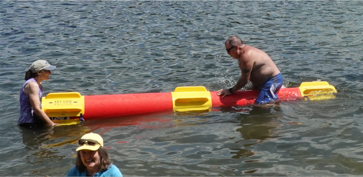
A water sport never seen before on Lake Fairlee was demonstrated last Saturday at Treasure Island, Thetford's town beach. Through the efforts of several people, including the Lake Fairlee Association and the Thetford Recreation Director, an invitation was extended to Danielle Rougeau of Middlebury College to introduce beach-goers to the sport of log rolling. Danielle is the coach of the Middlebury Log Rolling team. She is also the college's archivist, a former speed skater, and races horses in her spare time.
Danielle arrived at Treasure Island with two "logs," heavy plastic cylinders 11' 8" long and 15" in diameter. To simulate the weight of a real log, the cylinders, weighing 65 lbs. when empty, were filled with water bringing them to 482 lbs. in weight. By comparison, the estimated weight of a real log of those dimensions would be 650-1100 lbs. depending on the tree species and assuming the wood is green.
Petite and wiry, Danielle hopped onto one of the shifting logs as if it were the easiest thing in the world and demonstrated the correct stance and foot movements. The trick, it seemed, was to look to one side, along the length of the log, and to keep knees bent with feet in constant motion to compensate for the log's rolling motion while staying slightly bent forward.
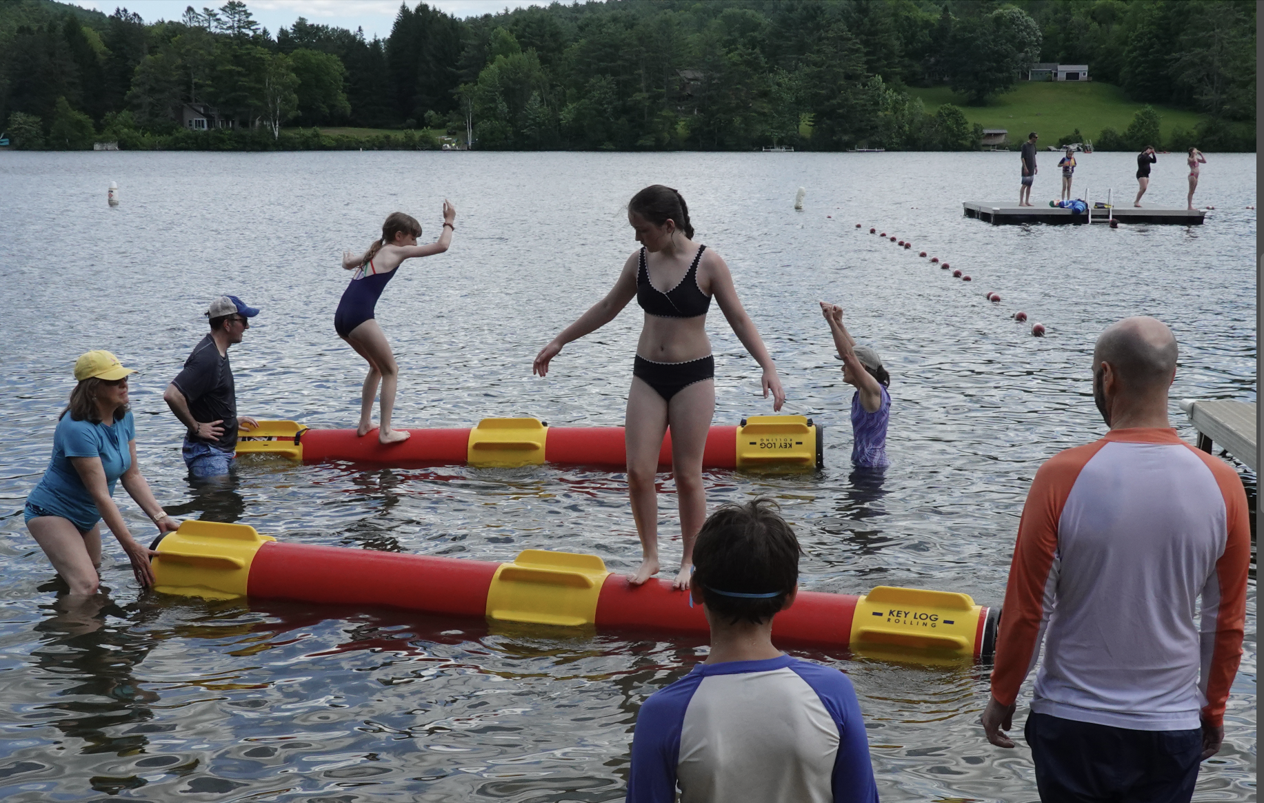
Then it was open for anyone from the public to give it a try. To make it easier, Danielle and helpers attached three yellow bands of “training fins” to each log. These fins stuck out at a 90 degree angle from the log's surface, thus slowing its rotation in the water.
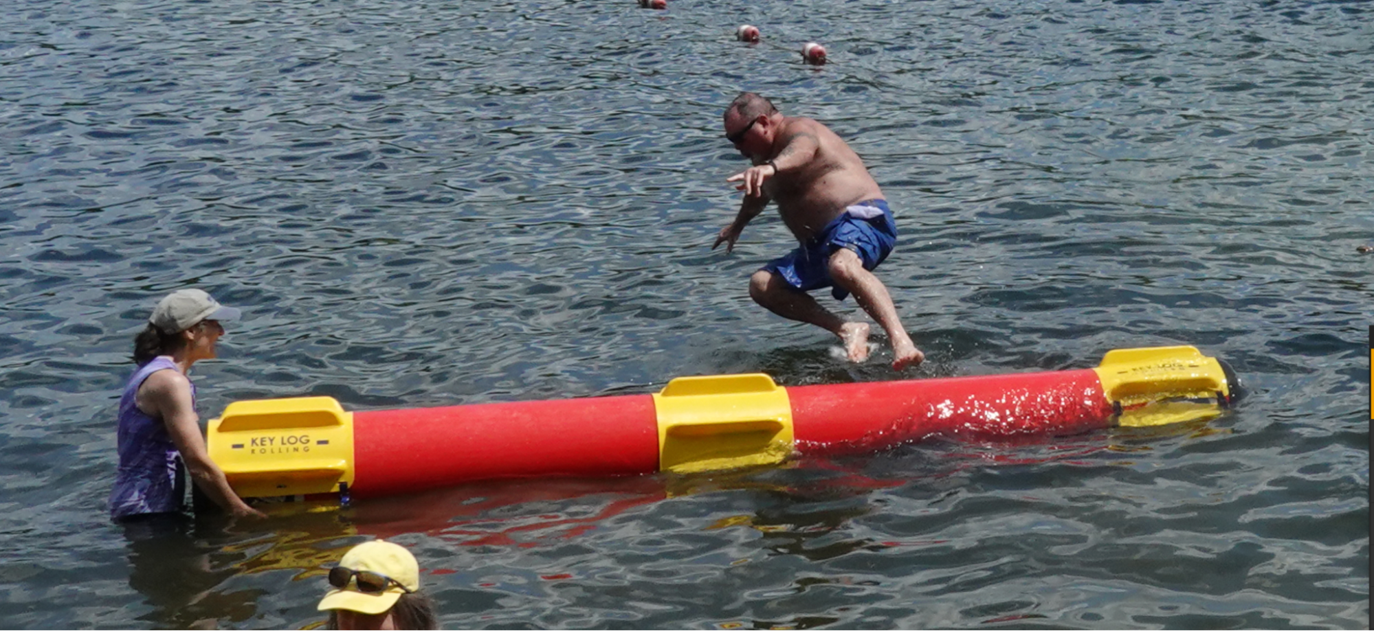
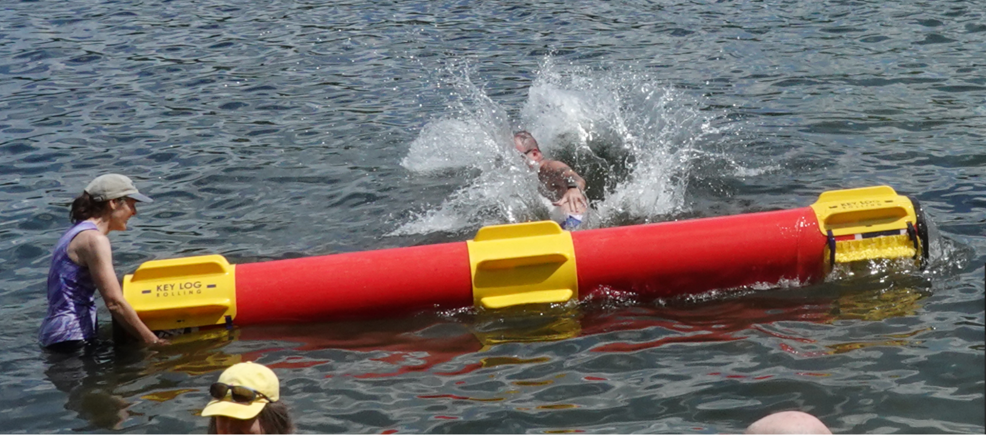
A few beachgoers sidled up, interested to experiment. Danielle and a helper steadied the logs until each user felt comfortable with the rolling motion. Teenage girls studying ballet or unicycle riding were able to master the skill quite quickly. Both those activities help to develop balance and coordination as well as core muscle strength. A little knot of onlookers soon gathered, some curious to try and others to cheer.
This latter-day sport of log rolling has its origins in birling, the outdoor sport of the North American lumberjack that was an extension of the necessary skills they practiced in the spring log drives. When mass harvesting of forests began in the Northeast, timber was floated down rivers to sawmills built at the mouths of rivers. Logs were moved across land to the river in winter, as swamps needed to be frozen and roads covered in ice for transport to be least costly.
Log drives, unfortunately, were devastating to the river and its ecology. Creeks leading into rivers were denuded, filled, and converted into roads because they offered the easiest grades. River banks were torn up and reshaped to make log chutes or rollways, where logs were piled high to be released when the spring floods came. The river channels themselves were cleared of trees, rocks, moss-filled snags and stumps (i.e. fish habitat) — anything that might trap logs and create a jam. Dams were often built in river headwaters to hold back water for release in an artificial flood to move logs when water levels were low — the bane of log transport.
Courageous lumberjacks accompanied the masses of floating logs downriver, sometimes for over 100 miles. Their job was to ride on the logs and keep the lumber moving. This included breaking up log jams, retrieving stranded logs that had floated into side eddies, and guiding the logs through sluices and dams. Every log was marked with an owner’s stamp, and every log had to be accounted for.
The sport of birling derives from this daily work of leaping from log to log. Birling consists of hopping on a floating log with an opponent and spinning it rapidly, "snubbing" or stopping it abruptly to reverse motion, or making other moves to throw the opponent off balance and into the water. Dislodging an opponent counted as a fall, and two falls out of three constituted a match. The contestants were dressed in work clothes, cut-off overalls or jeans, wool shirts, and high-topped boots. The first public birling match was held in 1888.
And thus the sport of log rolling was born! See a video clip of a contest: https://www.facebook.com/watch/?v=2054388661812774
Photo credit Li Shen