
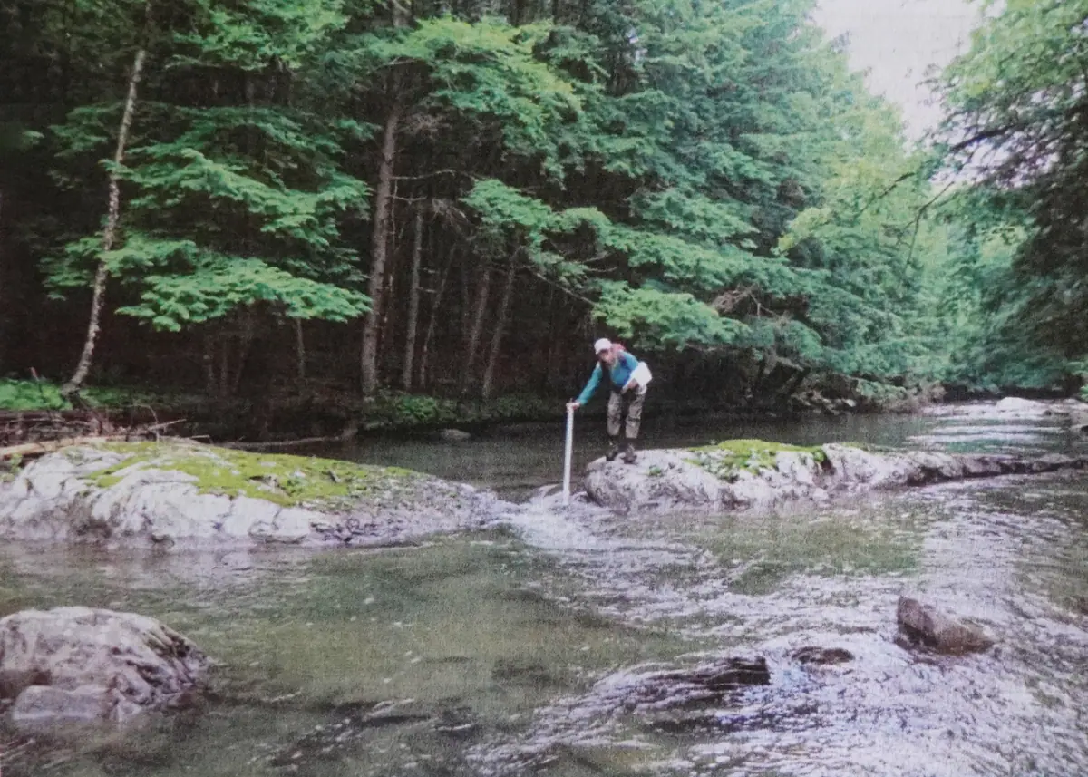
Ask the average resident about the Tactical Basin Plan, and you'll probably get a blank stare in spite of public outreach efforts by Keith Fritschie at the Vermont Department of Environmental Conservation (DEC.)
So, to start with the basics, the Tactical Basin Plan is a 105-page compendium of all the most up-to-date scientific information on the health and water quality of the lakes, streams, and rivers (surface waters) within the Middle Connecticut River Basin, aka Basin 14. This basin covers 580 square miles and is comprised of 13 watersheds, including the Ompompanoosuc watershed that most closely concerns Thetford residents and, in addition, the Wells, Waits, and Stevens rivers and a number of smaller streams that flow directly into the Connecticut River. Existing within Basin 14 are a few lakes, including Lake Fairlee, dear to many, plus Morey, Harvey's, Groton, and Ticklenaked Pond.
Chapters 1, 2, and 3 cover the health and water quality conditions of all these water bodies, summarized with illustrative maps. They are followed by a long section, Chapter 4, detailing the many sources of pollution that are harming the quality of these surface waters and what avenues can be taken to address them. These passages are interspersed with informative introductions to the many state initiatives, programs, and organizations that were set up to help landowners, farmers, etc. tackle water pollution, as well as to all applicable state regulations. The last chapter, 5, lays out in table form a list of 37 priority strategies for improving our surface waters. It's the "go-to guide for watershed action." Last, but not least, is a list of the 117 or so acronyms that pop up in the text.
It might surprise the reader to find that Biological Assessment is the first item in Chapter 1, which overviews basin water quality. Indeed, the numbers of aquatic critters and the diversity of species reflect the cumulative impacts of different stressors on a water body. To quote from the Plan: "Where criteria for specific ambient impacts do not exist, biological communities may be the only practical means of evaluation." Many life forms can be assessed, running the gamut from phytoplankton to macro-invertebrates (bottom-dwelling insect larvae, snails, worms, crustaceans) that are key biological indicators of water quality, to fish. While the majority of sites exhibited Very Good conditions, 16 sites scored less than Good. However the Ompompanoosuc River scored Good to Excellent here. Copperas Brook flowing into the West Branch from the Elizabeth Mine site, a notorious source of heavy metals before the EPA clean-up, scored "Fair" in 2019, the last time it was assessed.
The term "stream geomorphology" refers to the balance between the physical force of moving water and the resistance of stream beds, banks, and sediment. It describes how the processes of erosion and deposition by flowing water shape the earth and also how the river is responding to historic or current channel management activities imposed by humans. Historically, the Ompmpanoosuc suffered much straightening to accommodate agriculture and the river is readjusting through bank erosion and downstream sedimentation and still re-establishing its floodplain. Thus, most of the river gets a "Fair" geomorphic score, except for a stretch below the Lake Fairlee Outlet that gets a "Reference" score, equivalent to a pristine river. Streams in Reference condition show greater stability in times of flood, whereas altered streams are prone to eroding their channels both sideways and downwards.
The Ompompanoosuc also gets a mention under "Impaired and Altered Surface Waters." This is due to the presence of E. coli bacteria in a 9.8 mile stretch between Brimstone Corner in W. Fairlee and the Army Corps beach in the Union Village Dam park. E. coli is indicative of fecal contamination. The sources are hard to pin down unless they come from something obvious like a wastewater treatment plant. There could be several sources here, including failing septic systems, livestock and agricultural runoff, and pets.
Moving from streams to lakes, the Vermont Lakes and Ponds Management and Protection Program uses the Lakes Scorecard to rate the following: nutrient levels in water, shore land and lake wildlife habitat, pollution of atmospheric origin, and aquatic invasive species. The data shown is from 2022. More data may be found at the DEC Lakes Monitoring and Data webpage. Among lakes over ten acres, Lake Fairlee ranks among the less healthy, with "Poor " scores for waterborne nutrients due to increasing springtime levels of phosphorus and a burden of invasive species. Milfoil is the chief culprit, though the ominous-sounding Chinese mystery snail is also noted. Its presence is disputed by the Lake Fairlee Association. Pollution by atmospheric mercury coming from coal-fired power plants, waste incinerators, and diesel consumption in the Midwest, rates as "Fair." Almost every lake in Vermont has a fish consumption advisory due to mercury. Wildlife habitat around this developed lake is also rated "Fair."
Not all the "Strategies to Address Pollution by Sector" are applicable to the Ompompanoosuc River or Lake Fairlee. The following addresses those that seem relevant, from a very lengthy chapter.
The Basin Plan speculates that agricultural runoff may be among the factors contributing to E. coli in the Ompompanoosuc River. This may be addressed through Agricultural Best Management Practices (BMPs) designed to increase soil organic matter and promote less soil compaction, thus helping water to infiltrate the ground to reduce runoff and erosion. Around the farmstead, there are Best Management Practices for manure storage. It is very important to divert unpolluted rainwater via berms or grassy swales before it contacts manure, and to install roof gutters and downspouts to pipe water away from manure. The livestock feeding area itself should be paved to present a hard, sloped surface that resists mud pockets and can be regularly scraped. Manure-contaminated water should be directed into a settling basin and then into a vegetated area where sediment and nutrients can be absorbed by plants before reaching a water body.
The Basin Plan recommends that agricultural outreach should also focus on areas of known surface water impairment, such as in the vicinity of lakes like Fairlee that have a trending increase in water-borne nutrients.
The Agency of Agriculture, Food and Markets (AAFM) reported funding cost-share programs to implement BMPs on Basin 14 farms to the tune of about $2.8 million between 2020 and 2024. In addition, the AAFM sets required farm practices to ensure environmental stewardship based on farm livestock numbers. Unfortunately, there are a number of small farms that fall below the livestock number and thus escape these rules.
Regarding Lake Fairlee, in areas of development, lawns and roads account for the greatest source of phosphorus runoff. However, while there is a Vermont General Permit for stormwater discharge on developed lands, it only applies when there are three or more acres of impervious surface (and it does not apply to roads). Lake Wise Assessments and Lake Watershed Action Plans that encourage lakeshore owners to adopt practices that improve and protect lake water quality were completed for Lake Fairlee. They should be invoked to address stormwater pollution issues here.
Roads, such as those around Lake Fairlee, are a significant source of pollution. More than 75% of Vermont roads were built before there were any requirements to manage road stormwater runoff. Now, wherever roads and their ditches occur near streams, they become part of the stream network or "hydrologically connected.” Unpaved roads in particular are an important source of sediment and phosphorous. The 2015 Vermont Clean Water Act (Act 64) requires all Vermont towns to upgrade 7.5% of their hydrologically connected roads every year to meet the standards of the Municipal Road General Permit (MRGP) under Act 64. To assist towns with compliance, the VTrans Municipal Grants in Aid Program was instituted to provide technical assistance and help with funding road improvements under the MRGP.
Septic systems are the most widely used wastewater treatment system throughout rural Vermont. Although hidden from sight they still require periodic maintenance. The United States Geological Survey estimates that about ten percent of Basin 14's nitrogen pollution comes from septic systems. Failing septic systems are often difficult to detect as it is often only the homeowner who is in a position to spot this. Thus, the state's Watershed Management Division, in partnership with the Drinking Water and Groundwater Protection Division, has been supporting wastewater workshops at neighborhood gatherings, including on Lake Fairlee, organized by local partners. Here homeowners learn about good maintenance practices for septic systems on lakeshores and about different options for keeping the system functioning well. Hopefully, such workshops may be held in the future along the Ompompanoosuc River.
The above examples of pollution mitigation focus on man-made solutions. But there are other ways of preventing and reducing pollution of surface waters that are more economical and that require little or no maintenance. These are nature-based solutions that are one of the six components of the Vermont Resilience Implementation Strategy for coordinating climate resilience efforts now and into the future.
Many Vermont rivers, like the Ompompanoosuc, are still trying to reach equilibrium after centuries of man-made interference. They are undergoing adjustments in their size, shape, and channel. A river or stream in equilibrium is maintained by the interplay of water inputs, sediment loads, and woody material coming from its watershed. Erosion is minimal, there is floodwater attenuation, and watershed storage of sediment, groundwater, nutrients, and organic matter. The river flows naturally out over its floodplain every one to two years, and there is diversity in aquatic and riparian habitats. The way to achieve this state is through improved connectivity, both upstream-to-downstream and river-to-floodplain.
The Vermont Agency of Natural Resources (ANR) regulates what can be done in and along streams. This includes bank stabilization (armoring, rip-rap, etc. that do not allow a stream to alter its channel), the removal of wood or gravel, and the construction of bridges though its Stream Alteration Permit Rules. There are also diverse rules under the National Flood Insurance Program, Act 250, and the Vermont River Corridor and Floodplain Protection Rule to regulate what can be done in floodplains and river corridors.
More recently, after catastrophic flooding in Vermont in 2023, the legislature enacted the Flood Safety Act (Act 121) that takes a watershed approach to reducing the severity of flood risk. One approach is to regulate development in mapped river corridors. Another requires more restrictive municipal floodplain management standards. Perhaps most significantly, it mandates that Tactical Basin Planning be used to identify ways to decrease the severe effects of torrential precipitation by implementing nature-based restoration projects or methods that lessen the impacts of stormwaters and increase floodwater storage. Nature-based solutions include protecting and restoring riverside forests, floodplains, and wetlands; removing obstructions like disused dams; and replacing undersized culverts that impede the movement of water, sediment, and woody debris in the river channel.
In 2006, 2011, and 2014, the Thetford Conservation Commission was awarded funding to pay for stream geomorphic assessments of the Ompompanoosuc West Branch, and lower and middle main stem (aka East Branch). These studies identified priority projects and objectives aimed at restoring the worst abuses of the river channel. While some amount of restoration work resulted, many of the sites were inaccessible because they were on private land. These plans are now in the Watershed Projects Database where they will hopefully be reviewed by River Programs staff to determine their current relevance and feasibility.
In 2026 the Vermont Rivers Program was awarded funding to develop a Vermont Rivers Restoration Guide, similar to the Vermont Wetlands Restoration Manual. In 2027 the Guide will be available and will describe Best Practices for assisting rivers in moving towards equilibrium conditions. These could include voluntary conservation through donation of river channel management rights and wetlands bordering unstable streams. Reconnection of rivers with floodplains can involve large equipment to remove man-made riverside berms or excavating to reduce the height of a floodplain. Vermonters are also using low-tech, low-cost approaches, like strategic addition of large wood and the building of beaver dam-like structures (beaver dam analogs) that encourage stream evolution toward a more connected and resilient condition.
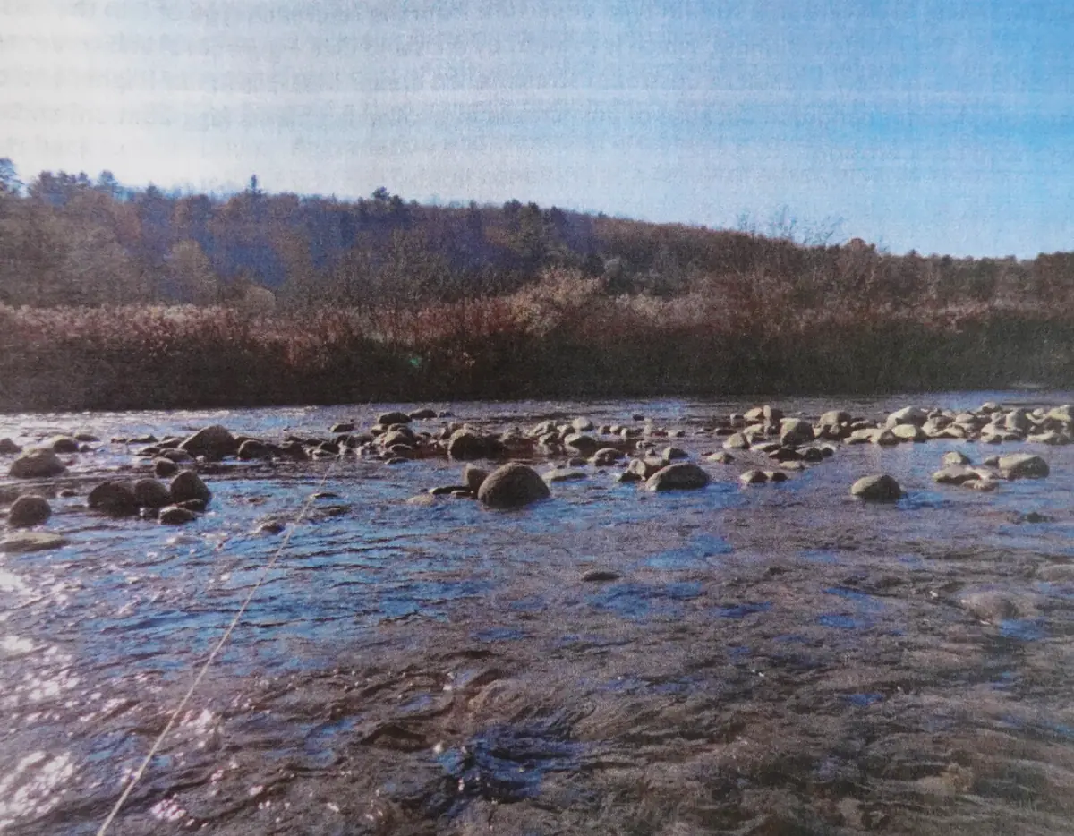
Our state is suffering severe, climate-related weather events with increasing frequency. Basin Planning is one way we can adapt and build resiliency to the storms, floods, and droughts that are projected to recur in the coming decades. Protecting and restoring river corridors, floodplains, and wetlands by many means, including low-cost nature-based approaches, will mitigate flooding, increase water infiltration to weather times of drought, and safeguard water quality.
Public comments on the draft Basin 14 Tactical Basin Plan are open through November 30, 2026. Please contact Keith Fritschie (keith.fritschie (at) vermont.gov) with any questions.
Comments
Sign in to join the conversation. It’s free, no password needed.
Sign in